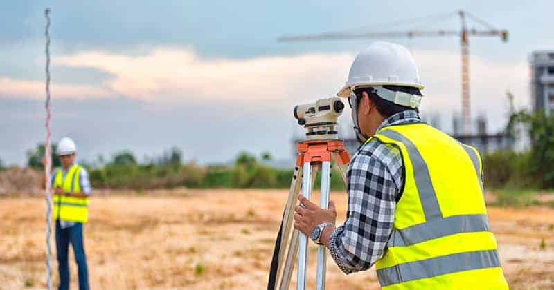
7 Branches Of Survey
In general, surveys can be put into groups with names that explain what they are for. There are seven main types of land surveying, although they often cross in different ways. Among the branches:
- Geodetic Survey
- Topographical Survey
- Cadastral Survey
- Engineering Survey
- Hydrographic Survey
- Remote Sensing
- Photogrammetry

1. Geodetic Surveys
Geodetic surveying is a technique of measuring large areas of the surface of the earth with more accuracy and precision. Most of the time, these are national surveys that give exact locations for survey stations that are far apart. In the study of geodesy, which looks at the size and shape of the earth, the curvature is taken into account.
Divisions Of Geodetic Surveying
I. Triangulation
In this type of surveying, a network of well-defined triangles is made on the piece of land to be measured. Only one line, called the base line, is measured, and all the other angles are carefully calculated.
II. Reciprocal Leveling
This type of surveying is used to find the variations in level between two places that are separated by obstacles.
III. Stadia or Techeometric Surveying
This kind of survey uses stadia readings to figure out vertical and horizontal distances without using chain or tape.
IV. Astronomical Surveying
This is a type of measuring in which the meridian, azimuth, latitude, time, etc. of a location on the surface of the earth can be established by examining the sun and stars.
V. Photographic surveying
This is a type of surveying through which plans or maps are made from photos taken from specific camera stations.
2. Topographical Surveys
These are survey in which the physical characteristics of a site are measured and maps and plans are made to show their horizontal and vertical positions in relation to each other.
3. Cadastral Surveys
These are surveys that are done to figure out and record the borders of properties, legislative regions, as well as countries. In some cases, cadastral surveys could be nearly entirely made up of topographical features that define boundaries.
4. Engineering Or Construction Surveys
These are surveys that are done to gather information for special projects. They are mostly large-scale topographic features for a specific engineering plan, which could include setting up work on the ground.
Most of the time, these are plane surveys, but some geodetic control may be needed for big projects like highways and pipelines.
They are done to gather the information that is needed for planning, estimating, locating, and lay out the different parts of a building project or activity. There are reconnaissance, preliminary, location, and plan surveys in this type of survey.
So, engineering surveys and/or construction surveys are part of a set of steps that lead to the building of a man-made object. Most of the time, the word “structure” refers to something made of structural parts, like a building or bridge.
It is used here in a wider sense to include all man-made things, like graded areas, sewer, power, and water lines, highways and roadways, and coastal structures. Most construction surveys are done on places that are small enough that plane surveying techniques and methods can be used.
5. Hydrographic Surveying
In addition to land surveying, there is also hydrographic surveying. Hydrographic (sea) surveying is the science of measuring and drawing the parameters needed to explain the exact nature and shape of river and sea beds, their location in relation to landmasses, and the characteristics and behavior of seas and rivers.
6. Remote Sensing
This is the science and art of getting information about an object, area, or phenomenon by analyzing, interpreting, classifying, and identifying data collected by a device that is not in touch with the object, area, or phenomenon being studied. Sensors collect the info from far away.
These sensors measure and keep track of the changes in the electromagnetic energy that different parts of the earth’s surface emit or reflect. Most of the time, they operate from airborne platforms. The data that is received can be in any form: changes in the way forces are distributed, the way acoustic waves are distributed, or the way electromagnetic energy is distributed.
7. Photogrammetric Surveying
Photogrammetry is now defined as the science, art, and technology of getting accurate information about physical objects and the environment by taking pictures, measuring them, and figuring out what they mean. This is done by interpreting recorded electromagnetic energy patterns
Photogrammetrists look at pictures taken from the aerial point of view and the ground to learn about things and the environment.


